Trip Report: Days Bay Main Ridge, Wellington
Start time: 11:20am from Days Bay Pavillion
Finish time: ~ 2:30pm at Cheviot Bay Road + 15 minutes to cycle back to Days Bay
Time: approximately 3 hours with a few breathers and a 15 minute stop for lunch
An unexpected change in our weekend plans last weekend (mostly a sense of laziness that persisted all through Saturday) let us to try out a new area of the East Harbour Regional Park that we have not yet been into.
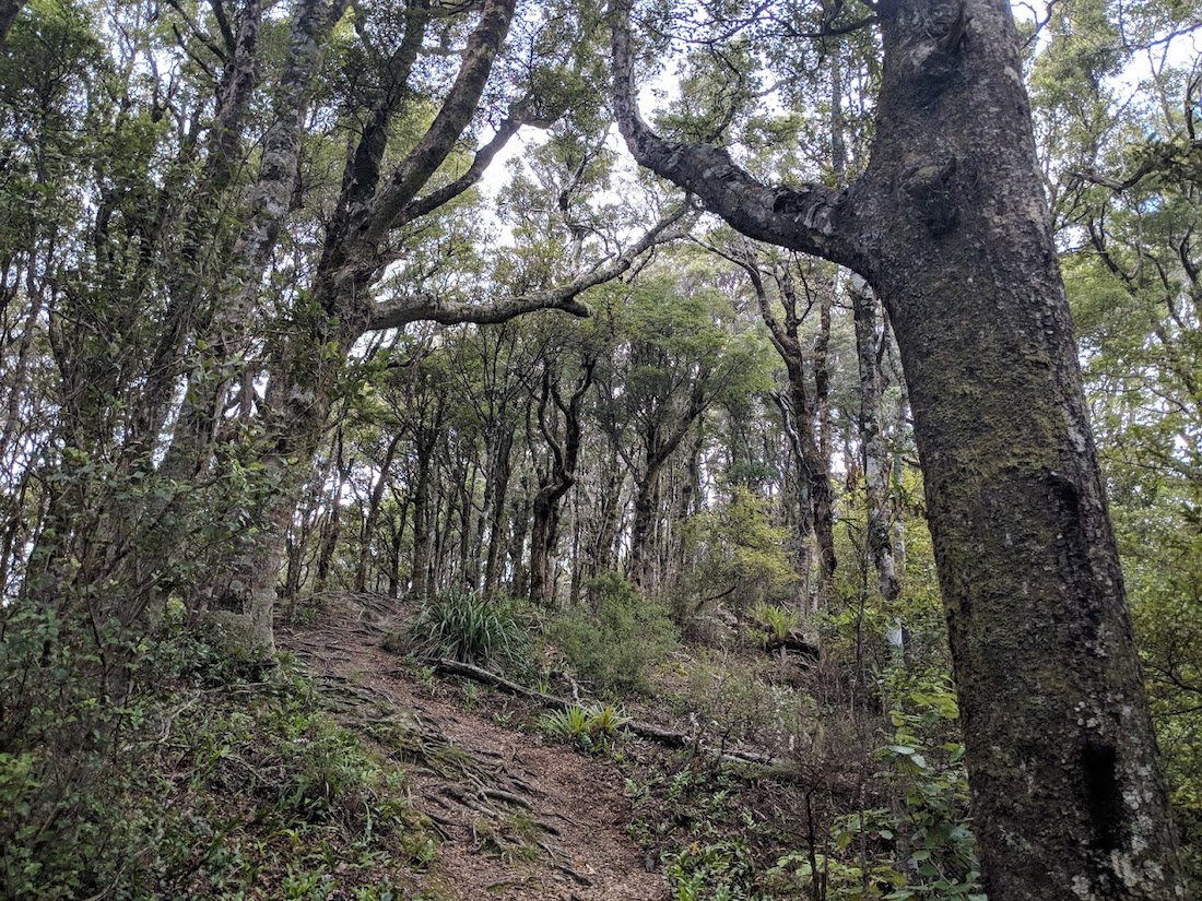
Between Point Arthur (where the Pencarrow Head trail starts), and the Wainuiomata Hill Road lookout runs the creatively named “Main Ridge”. This ridge sits between the East Harbour bays and Wainuiomata/Coast Road, and consists of a mixture of mature beech forest and regenerating manuka/native scrub.
Since this route is not a loop, we began by dropping a bike at Cheviot Road, inland from Point Howard. This would allow one of us to cycle to the start point at the end of our walk to collect the car. After dropping the bike, we continued around the bays to the Days Bay Pavillion, where we parked the car in the unrestricted car park spaces along the beachfront (the Pavillion carpark is also free to use, but has a 4 hour restriction).
The Kereru Track begins behind and to the right of the duck pond that is next to the Pavillion, following a small stream gently up the hill, with a residential street on the other side. The Korimako Track also leaves from Days Bay and can be joined to from the start of the Kereru Track, but is a rougher track and joins the ridge further along.
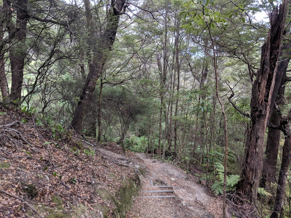
The gentle gradient of the track steepens after passing a small dam after around 10 minutes, before heading into more established beech forest and moving into some zig-zags up a spur.
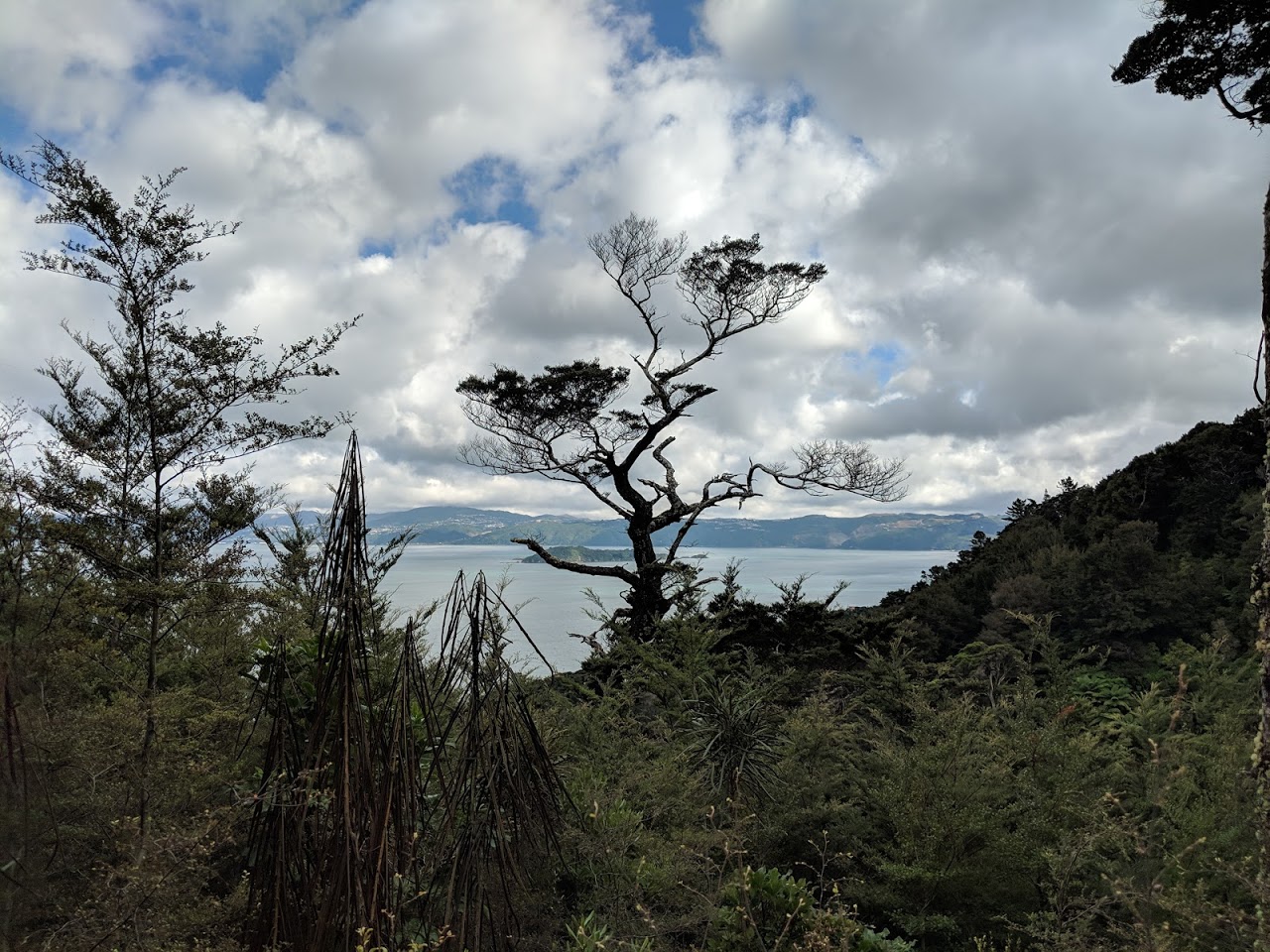
A further 10-20 minutes clambering up zigzags and steps will have you reaching a memorial bench with a great view over the harbour. This is a great spot for a sit down and breather. Past the bench, continue up the spur, which after the initial climb moves into more typical top-of-spur climing - steep, short climbs with gradual climbing in between.
The spur meets the ridge after another 20 minutes or so after the bench, with a sign pointing the way to the right along the ridge towards Eastbourne. Head left, which is sign posted as 15 minutes to the mtop of the Korimako Track, and 45 minutes to the Ferry Road Track.
The ridge travel is typical for the area - generally pretty gentle with a short climb and descent every couple of hundred metres. I did manage to roll my ankle on one of these descents just for some variety, but it was minor and after stretching it out we carried on.
The Korimako and Ferry Road tracks are uneventful in their own right, but provide convenient milestones to measure progress against the map. We found that we were sticking to a pace that was around 2/3 of the signposted time, which is normal for us on Greater Wellington Regional Council tracks.
After the Ferry Road turnoff, the track turns to follow the ridge NNE with a couple more steep climbs to meet the main Lowry intersection. At 373m, Mt Lowry isn’t a huge hill to climb, however coming all the way up from sea level, it feels like quite an accomplishment. The trig itself isn’t at the intersection - it looks like it is around 10 minutes down the Rata Ridge Track. We didn’t bother finding the trig since we had already got to the viewpoint.
From here on in, the track is shared use for mountain bikers and walkers. Mountain bikers can come up the Rata Ridge Track, and head down the Main Ridge Track to meet up with the mountain bike park on the Wainui hill road. We saw several cyclists climbing their way up the hill, but no one coming down. I’m not sure if this is the predominant direction or not.
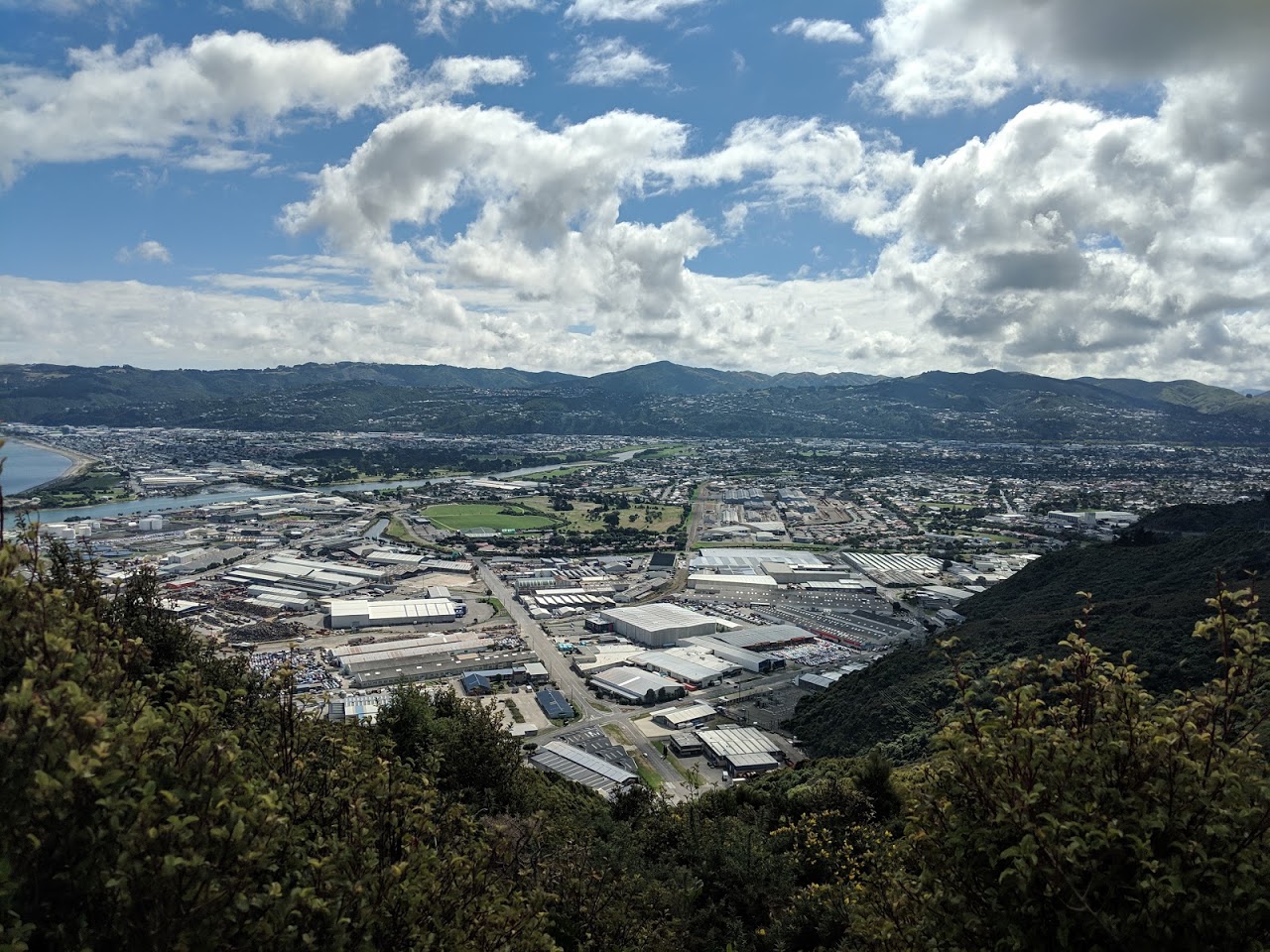
The main ridge track continues along towards Lowry Bay, now with the edge of Wainuiomata quite close on the right. There was a motorcross track which you might hear close by, however the track is smooth and well-formed with shade provided by beech trees and manuka. If you are heading towards Cheviot Road like we were, you continue along the ridge for what feels like ages, getting closer and closer to the lookout (the road noise can be heard with the hill road running downhill below the ridgeline). About 10 minutes before the lookout, a slightly wider firebreak is met, with tracks down to Point Howard and Cheviot Road dropping off to the left. Follow this track, crossing the stile, and take the extra 50 metres to go and check out the lookout point over the Hutt Valley.
The track from here drops quite steeply down into a stream valley, so back into Nikau-style bush and shade. The track is gravelled so is a good surface but might be a little slippery underfoot. The track descends to come close to a stream running down the valley and turns to the left to gradually descent the valley wall, meeting the stream 5 minutes before the road end.
If you’ve dropped a bike here, the cycle back around to Days Bay is just under 5 kilometers and is flat and smooth. There is shared footpath some of the way, but on the wrong side of the road (if you are heading towards Days Bay), so expect to do a bit of crossing from side to side.
Overall, this walk, like most in the East Harbour forest is nicer than might be expected considering its proximity to the industrial part of the Hutt Valley and Wellington City itself. It is easy to get to, being accessible by ferry from Wellington, bike, or car, and can fits nicely into a morning or afternoon.