Biking from Akatawara to Renata Hut (Attempt #2)
After my failed 2017 attempt to reach Renata Hut, I finally mustered up the spare time and inclination to have another shot.
The TL;DR of the last attempt is that due to significant tree fall on the track, it took me too long to make it up to the Hut - I reached my cutoff and turned around.
After that attempt, I reflected on how, because much of the track is four-wheel drive accesible, I could possibly save some time by mountain biking as far up as I could before continuing up by foot. That’s what I tried this time. It didn’t work out, which I’ll go into.
Start time: 9:30am from Akatawara Hill Rd saddle
Finish time: ~ 3:30pm
Time: 6 hours - approximately 3 hours up, 1.5 hours down, 1.5 hour delay + breaks.
I started from the saddle, which is just as dodgy looking as ever. Not-very-reassuringly, the skeleton of a burnt out car which wasn’t there last time was right in the middle of the gravel patch at the summit. I parked as out-of-sight as I could manage and got on my bike and set off up the hill. I pretty quickly discovered that while the track is definitely bikable in terms of width, the terrain and uphill slog was going to make things tough for me. This was 100% my bike fitness - I’m pretty sure someone more capable on a bike would have no particular problems.
I met a single tramper about 15 minutes up the hill, who was on his way out from Renata. It was good to check in with someone, though he was pretty happy to find how close he was to getting out. The track up is generally in good condition and has been cleared since I was last up. The 4WD track is definitely 4WD - not just a gravel road, in places there are deep water-filled ditches to traverse, and some impressively deep ruts.
I found that in general I made good progress up the hill, although I had to jump off and walk a lot more than I thought I would need to. This was mostly due to struggling to hold up enough momentum to pick a stable path up through ruts, and on balance I found it was a lot less tiring to walk a few meters and continue cycling rather than to battle up each tough bit. Another consideration if you’re looking at cycling is also that the gravel is not that of a maintained road. It’s fine most of the time, but there are frequently spots with larger lumps of rock - fist sized rocks took a lot more effort to push over and tended to roll around a lot more.
I was pleased to get to the large slip and washout where I turned around on my last attempt in pretty good time, and as I carried on to Maymorn Junction, I could see I definitely made the right call. While the slip isn’t THAT far from the Junction, it would have definitely pushed me off my timing to carry on, let alone to go all the way to the Hut. As you can see from the Topomap below, I was about as far from the Junction as the Junction was from the Hut.
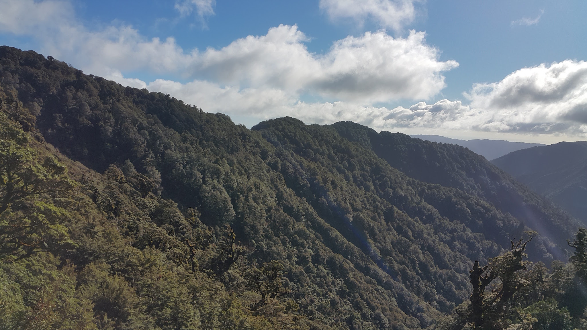
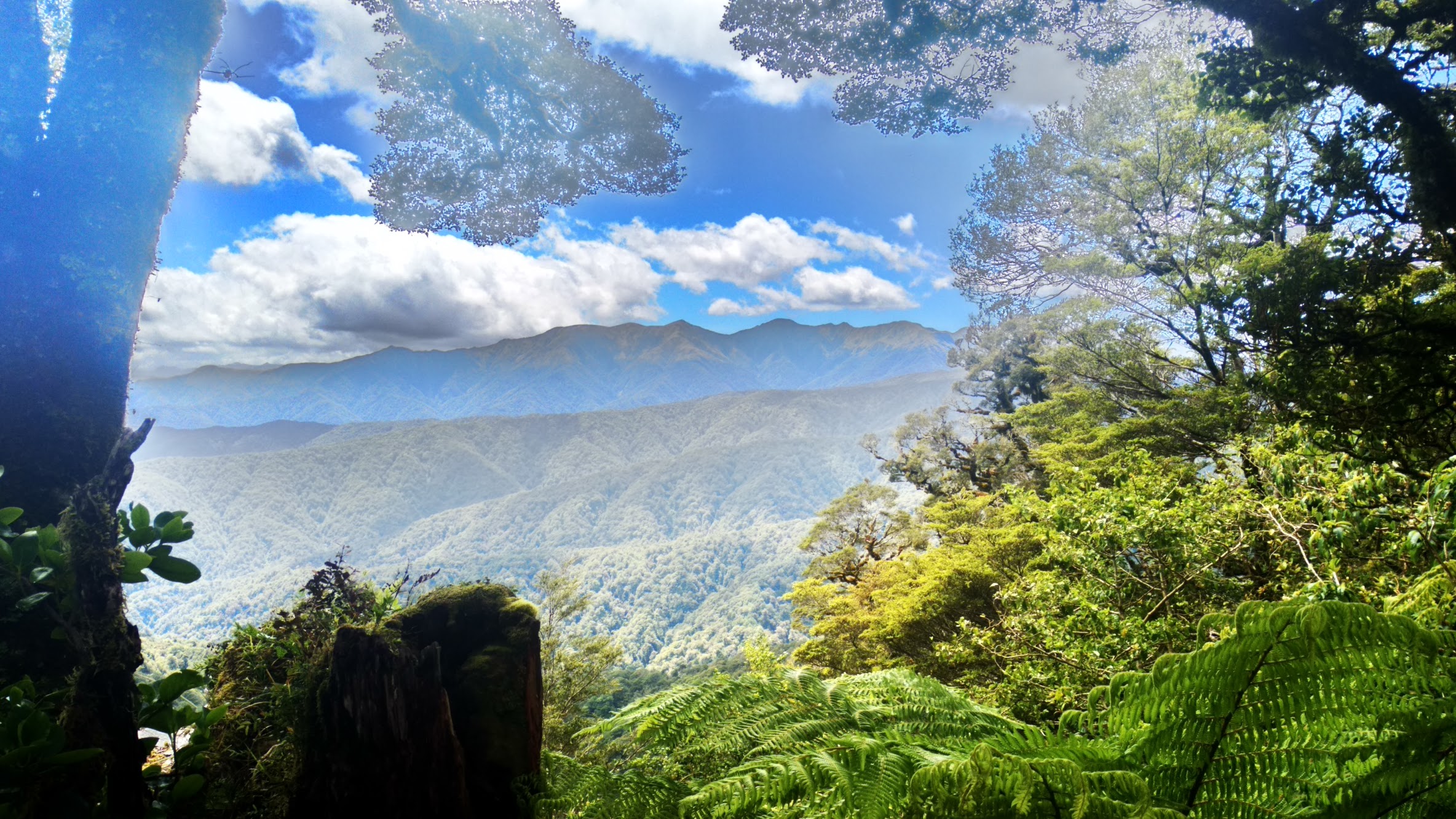
Anyway, I carried on. I was having no trouble with the track, which is 4WD track all the way to Maymore Junction and on down to Waiotaru Hut. I reached a clearing just in time for lunch, and stopped here with a great view of the main range.
I was expecting to get to the junction about now, but figured that it must be coming up soon with the road opening up. There was no signage, and I couldn’t see any triangles, so I carried on. A short distance down the road, I saw some orange triangles, but there were on the wrong side to be to Renata - I checked out the map, and noticed that there was a track coming in to Renata here. I started to feel like I may have passed the Junction, but my GPS wasn’t putting me exactly where I thought I was, and the topomap showed the tracks converging reasonably roughly, so I carried on. The road starting heading downhill, and I heard some 4WD trucks coming up behind me. This put a little pressure on since the road wasn’t so wide, and I wasn’t sure how fast they were coming up, so I carried on further down the hill.
By the time I figured out that I’d clearly missed the Junction, I was a decent distance down what I now knew was the track to Waiotaru Hut.
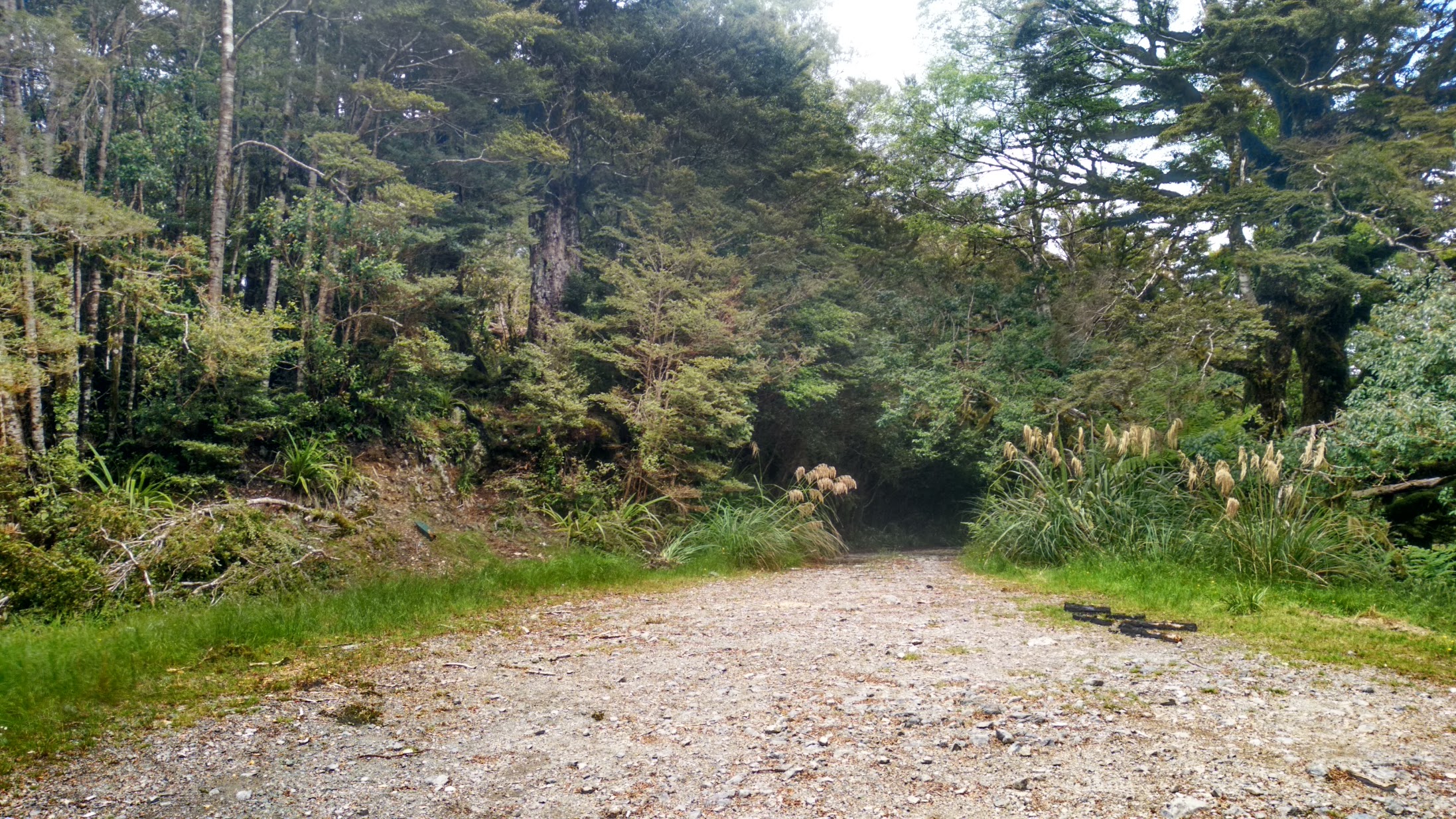
I still wasn’t getting a good GPS fix, but determined where I was as I was beside a stream crossing. I stopped here and let the group of three 4WD vehicles catch up and pass me before turning around to head back up the hill. This took me around an hour to regain the junction. By this point, I was feeling pretty short of energy, and hadn’t expected to have to get back to MORE uphill cycling straight away, so I had to take it pretty slowly and walk a decent chunk of it. By the time I reached the clearing where I stopped for lunch, and having not passed any other likely looking spots I was more inclined to not carry on until I had confirmed where the track to Renata Hut actually was. By now, I was almost at my cutoff, both in terms of time and energy, and knew I wouldn’t be able to make the Hut that day. After a bit of a hunt around, I found the stump of where a DoC sign used to be. Just past that stump, I found an unmarked track heading up a small bank. At the top of that bank, I could see an orange triangle about 50m away - solving the problem of the missing track!
Next time, I definitely know where the track is, and I also know that I can do a mixture of cycling the easy bits and walking the hard bits to get up to the junction in good time and without using up all my energy. It’s definitely one that I will try again, and hopefully it will be third time lucky.
From the junction, I gratefully started downhill. The downhill trip was mostly quick, with some of the undulations along the ridge providing some gradual uphill stretches to overcome. The rutted parts of the track were a lot easier to roll down than struggle up, and even though I didn’t manage to make it down without getting wet feet in the ditch crossings, by that stage I needed a cool down.
Made it back to the car at around 3:30pm, and spent some time on the Summit stretching and resting up, completely exhausted. Definitely the toughest cycle I’ve done in a day, but I really enjoy the solitude and quietness of this part of the Tararua Forest Park.